An independently authored Martius studio showcase for this website, not output from the Martius Agent or a customer campaign. Field is a fictional campaign identity. Licensed contextual moving footage is combined with original editing, typography and an original stereo score.
Introduce an agricultural observation direction through independently captured moving field views. Make a change in scale visible while keeping surveying, crop diagnosis and yield promises out of the copy.
Scene sequence and accessible transcript
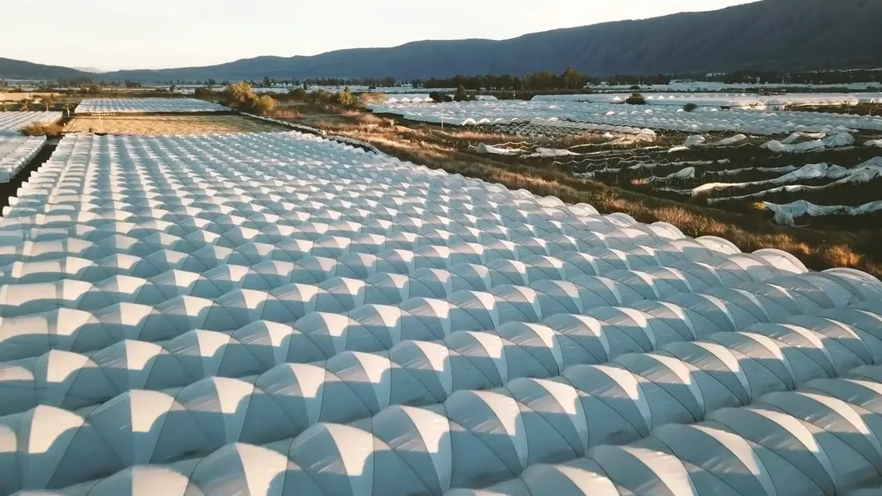
0:00–0:08 — An agriculture field at morning is revealed from above. Original spacious music begins.
0:08–0:16 — A second aerial camera move studies field geometry and the pattern of cultivated land.
0:16–0:24 — Another field seen from above resolves the landscape study under “Field” and “See the land differently.”
The visual decision
A new aerial perspective makes field geometry observable through real camera movement. The edit does not fabricate diagnostic data.
The documentary treatment uses actual moving footage and timed typography, with an independently composed ambient score. Original source audio is not reused.
Review for a real campaign
A real drone or analytics film requires footage from its own supported workflow and demonstrable outputs. Aerial stock is not evidence of autonomous surveying, diagnostics, irrigation control or yield optimisation.
Scope of this showcase
Fictional agriculture-observation brand story. The footage is a visual study of land, not output from a Field drone or data product.
Production and source
The film runs 24 seconds at 1280 × 720 and 30 fps, with AAC stereo audio at 48 kHz. A WebP poster and a time-aligned descriptive VTT track accompany the film.
Each stock item was reviewed individually for the Mixkit Stock Video Free License. Only the original edited film is public; the raw stock files remain private. Source URLs are listed for review.
Words, sound and scene notes
00:00
An agriculture field at morning is revealed from above. Original spacious music begins.
00:08
A second aerial camera move studies field geometry and the pattern of cultivated land.
00:16
Another field seen from above resolves the landscape study under “Field” and “See the land differently.”
Questions, answered
A few things to know.
What is the main idea of the Field aerial agriculture film?
Three independently captured moving field views make changes in scale, texture and land geometry visible. The film is a visual study of agricultural observation.
Does this footage show output from a Field drone or crop-analysis product?
No. Field is fictional, and the aerial footage is contextual stock. It does not demonstrate autonomous surveying, crop diagnosis, irrigation control or yield optimisation.
What evidence should a real agricultural-observation campaign include?
Use footage from its own supported workflow, reviewed locations and demonstrable outputs. State capture conditions and limitations before making an accuracy, coverage or crop-health claim.
Create this type of video and continue the workflow